XGRIDS Lixel SLAM Scanners — Authorized US Partner & Support
Handheld LiDAR, SLAM, and 3D Gaussian Splatting reality capture — with demos, training, and same-day quotes from Auburn Hills, Michigan.
- Authorized partner
- Local demo room + training
- Same-day quotes
- Financing to 72 months
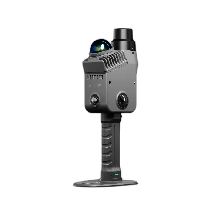
One handheld ladder, from lightweight to survey-grade.
Every Lixel scanner runs the same Multi-SLAM AI engine and exports 3D Gaussian Splats. Each card links to the full product page — where pricing, financing, and configuration live.
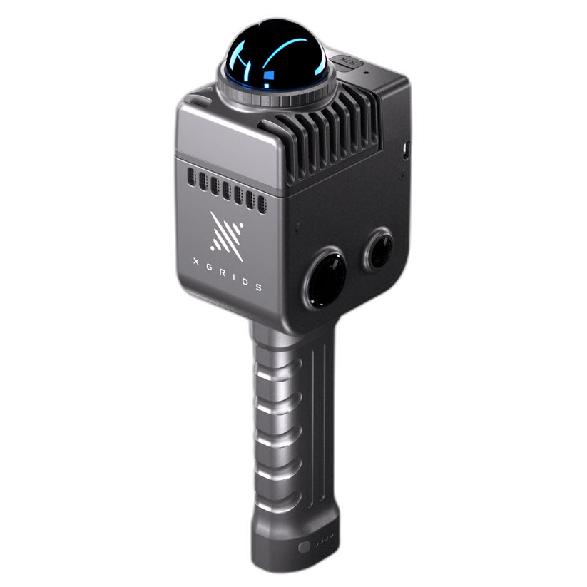
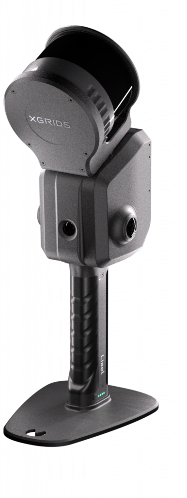
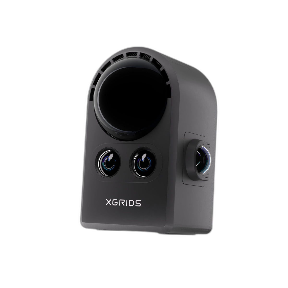
| Specification | Lixel K2 | LixelKity K1 | Lixel L2 Pro |
|---|---|---|---|
| SLAM engine | Multi-SLAM AI | Multi-SLAM AI | Multi-SLAM AI |
| LiDAR scan rate | 200,000 pts/s | 200,000 pts/s | 320k–640k pts/s |
| Cameras | 3-camera array | 2 × 48MP panoramic | 2 × 48MP panoramic |
| Field of view | 360° × -7~+52° | 360° × 360° | 360° × 270° |
| RTK | Built-in | Optional accessory | Built-in · quad-GNSS |
| 3D Gaussian Splat | Via Lixel CyberColor | Via Lixel CyberColor | Via Lixel CyberColor |
| Ingress rating | IP54 | IP54 | IP54 |
| Best for | Lightweight everyday capture | Compact panoramic SLAM | Survey-grade long-range |
| Pricing | Request a quote | From $219/mo | From $440/mo |
Specs as published on each Rev1 product page. Monthly figures are financing estimates on approved credit; only PortalCam carries a fixed list price.
Coming from a tripod scanner, Faro Focus, or drone-only workflow?
Factual, workflow-level comparisons — bring your current process and we’ll walk a live SLAM capture on your own site.
Terrestrial tripod scanning ties you to station setups and leapfrog registration. Handheld SLAM walks the whole site in one pass — real-time colored point clouds, no targets — with demo and support from Auburn Hills.
See the scannerTrade setup-move-setup for one continuous capture. SLAM covers a floor in minutes to 3 cm RMS, then exports straight to Civil 3D, Revit, ArcGIS, and QGIS.
See the scannerAdd ground-level SLAM to reach what drones miss — facades, interiors, undercrofts — colorized and geo-referenced, fused into the same point cloud.
See the scannerBring your site plan — we walk a live capture.
Real data from your real space before you spend a dollar. Bring a floor plan or a representative area to our Auburn Hills demo room; you leave with the point cloud, a colored 3D Gaussian Splat preview, and a straight recommendation — even if it’s “keep your current setup.”
Process, colorize, and rebuild — Lixel software
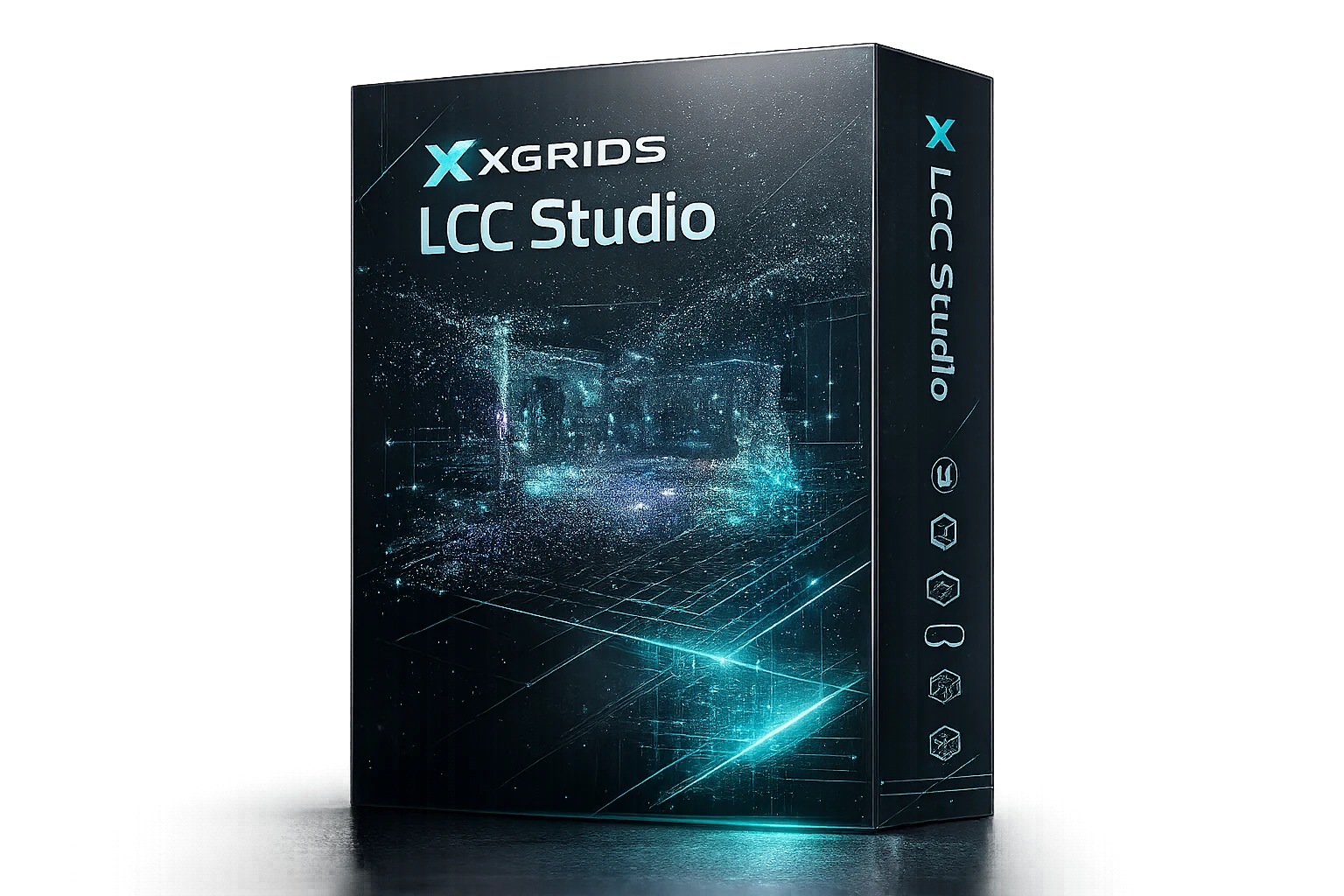
Every scanner above plugs into the same stack: process in LixelStudio, generate photoreal 3D Gaussian Splats in Lixel CyberColor, and push straight to Revit BIM. We install, license, and train on both.
Why teams standardize on Lixel
Multi-SLAM AI, real-time 3D Gaussian Splatting, and a company with the scale to back it — then come benchmark it on your own site.


Built for the work you already do
Frequently asked questions
Which Lixel scanner should I choose?
For lightweight everyday capture, the Lixel K2. For compact 360° panoramic SLAM, the LixelKity K1. For survey-grade range and accuracy — up to 300 m and 3 cm RMS — the Lixel L2 Pro. For a true spatial camera and 3D Gaussian Splats, PortalCam. Not sure? Book a demo and we’ll match it to your site.
Does it work indoors or underground without GPS?
Yes. Multi-SLAM AI fuses LiDAR, cameras, and IMU to hold position where GNSS can’t reach — tunnels, basements, interiors — and re-anchors to RTK when signal returns.
What financing and support is included?
Business financing runs to 72 months on approved credit across the full Lixel line, with US-based setup, training, and direct phone support from Auburn Hills, Michigan — plus 3D Gaussian Splat and BIM workflow guidance. Monthly figures shown are estimates; same-day quotes include exact terms.
Can I try it on my own site first?
Yes. Bring a floor plan or a representative space to our Auburn Hills demo room and we’ll run a live SLAM capture — you leave with the point cloud, a colored 3DGS preview, and a straight recommendation.
See it on your site, not a demo puck
A live SLAM capture or a walkthrough of your own space — either way you leave with real data and a same-day quote.
For immediate assistance:
…